Magnificent Namibia sits pretty on the west coast of southern Africa. With a landscape that includes the world’s oldest desert, a desolate coastline, vast savannahs and wondrous wetlands, it’s no surprise that Namibia boasts an equally varied climate. Enjoying seasons opposite to the UK's, the country’s weather can be divided into three periods. The first is the hot, dry, early summer months between October and December. Then, from January to April, is the second half of summer – a warm and wet ‘rainy’ season. Lastly is Namibia’s dry, cooler winter period, May to September. Read on for our rundown of the country’s climate throughout the year to discover the best time to visit Namibia.
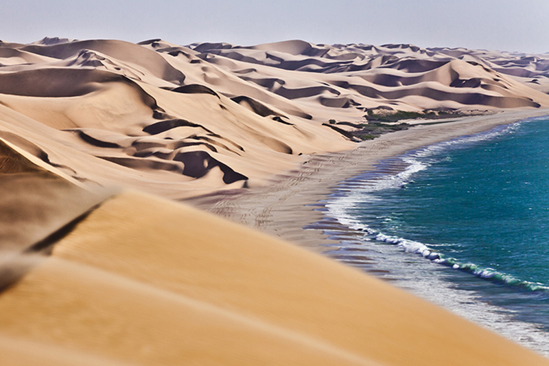
The Atlantic coast
Namibia has around 900 miles of coastline. The Benguela Current and the Atlantic chill affect the coastal climate. Because of this Antarctic current, the average ocean temperature is cool (14 - 18°C). The coastal region is an arid area that, in summer, enjoys temperatures ranging from 15 - 25°C. During the rainy season, the coast receives less rainfall than inland areas (two inches of rainfall, compared to between 12 and 27 inches in some areas).
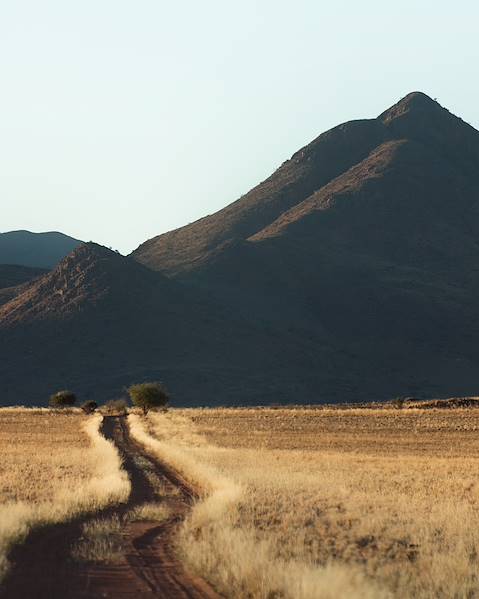
Damaraland and Etosha
Damaraland is a very arid region. The rains only come from December to March, and temperatures can reach 35°C. From April, and more so into May, the days are milder. Damaraland is a popular hiking area, and these months, as well as July and August, offer a favourable climate. From October to November, the heat increases, and the days are longer.
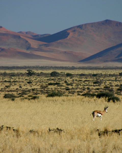
The coldest and driest months run from May to September in the Etosha region and its national park. During the rainy season from November to March, it’s the wettest and hottest, with average daily temperatures of 31°C and average minimums of 14°C. There is generally very low humidity across most of Namibia, but it can reach as high as 80% in the far north and Etosha National Park during the summer.
Namibia's far south
The far south of Namibia is a semi-arid area, where temperatures can exceed 40°C, as in the far north of the country. The southern highlands, trapped between the Namib and Kalahari Deserts, have low rainfall of nearly ten inches a year.
The Kalahari Desert
The Kalahari Desert has a semi-arid subtropical climate. The average annual temperature exceeds 18°C. At an altitude of between 2,000ft and 5,000ft, the Kalahari Desert has lower temperatures than other deserts, such as the Sahara or the Sahel. Mid-summer temperatures (December to March) are not too hot, with monthly averages below 28°C. Unfortunately, the hot season is also the rainy season. Be aware that there can be frosts during the winter months (June to August).
The Waterberg
Like other parts of Namibia and neighbouring South Africa, the Waterberg region has its rainy season in the summer, between November and February. Rainfall is around 16 inches in the lower altitude part of the north. The minimum average temperature for this period is 14°C, and the maximum average is 30°C. Ground frost is common during the winter months, as in the Kalahari Desert region.
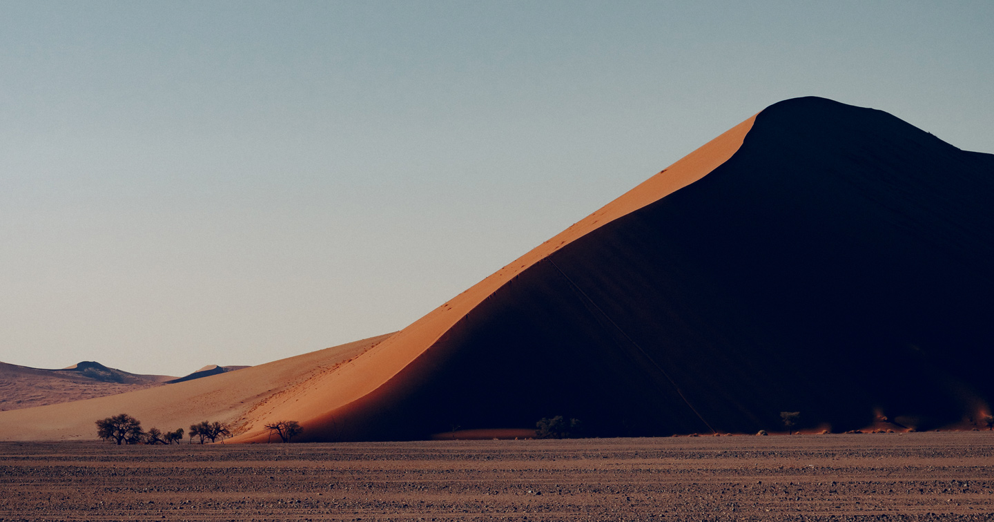
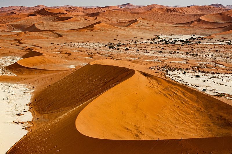
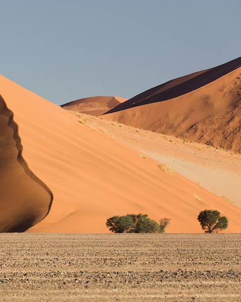
The Namib Desert
The Namib Desert and surrounding area, close to the coast, are the driest part of Namibia. On the same day, it can feature extreme temperatures of over 40°C in the middle of the day and very cold nights dropping below zero.
Kaokoland
Kaokoland is the northern end of the Namib desert (north-western Namibia). This wilderness is influenced by the harsh desert climate. Warm and dry generally throughout the year, temperatures in Kaokoland can become very cold at night from June to August (the winter months).